Mapping the hidden geography of Earth’s deep mantle using graph theory and AI
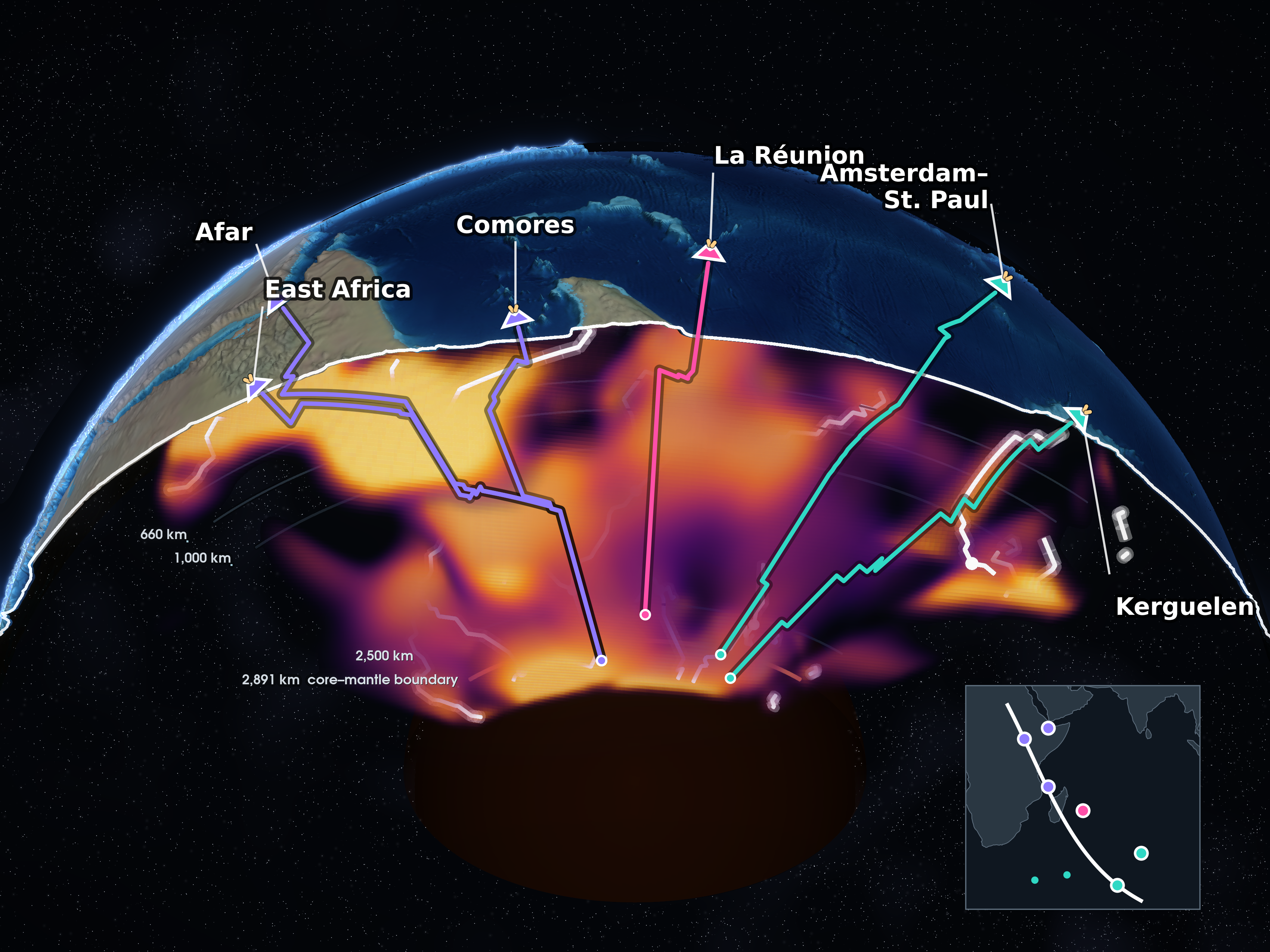
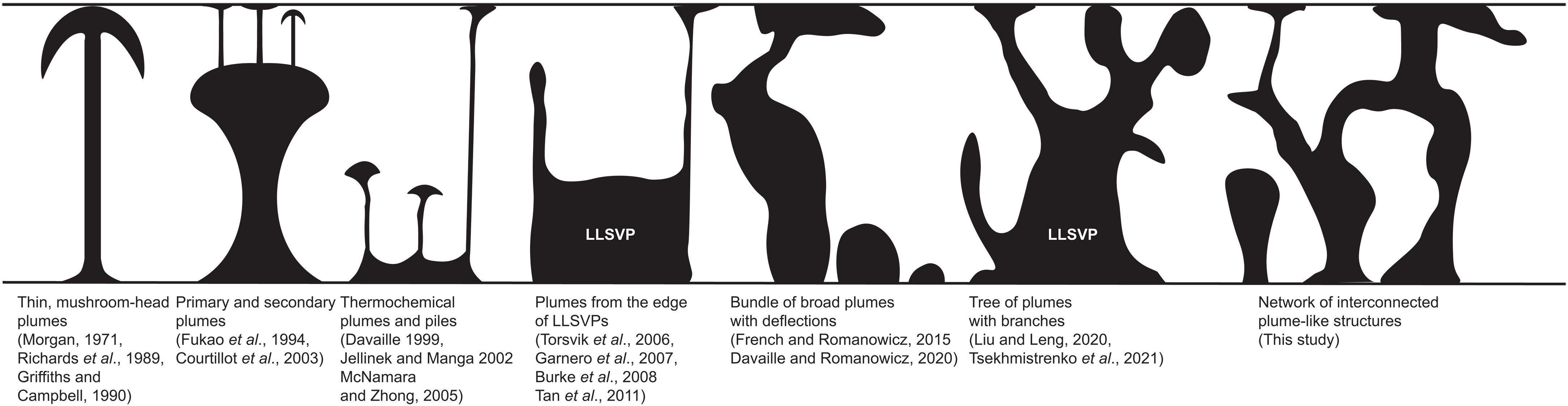
Our new study in Science uses graph theory to trace plausible mantle-plume pathways through seismic tomography beneath East Africa and the Indian Ocean. By comparing these pathways with independent geochemicial data with AI-based clustering analysis, we identify at least three compositionally distinct source regions within the African LLSVP and construct the first joint geophysical-geochemical zoning map of the lowermost mantle in this region.
The work was also covered by Harvard FAS.